Introduction
High exposure is the name of the game on Segment 4, with more than 24 miles of distance you’ll need to cover before dipping below 12,000’ – the peaks before you will seem endless. The majority of this segment then is above – well above – treeline. With that comes the dangers of exposure talked about in the introduction to this guide. There are not many places like this in Colorado, where the steep faces of mountains drop precipitously on each side and the valley floor looks impossibly flat, a mile down.
Thankfully, most of the technical difficulties have been cleared, and endless talus hopping will be the primary barrier between you and Hayden Pass. A trail network is found below the peaks to the west, which the High Route uses to skip much of the peaks in this segment. We can also use it to bail off the ridge and into the town of Crestone.
Dozens of points and peaks will be surmounted.
- 30.4 miles
- 13,623′ gain
- 16,109′ loss
Difficulty: Hard — Class 2 and Class 3 talus hopping and scrambling, lack of water sources, blowdown, difficulty bailing, 2 dozen miles contiguously above 12,000′.
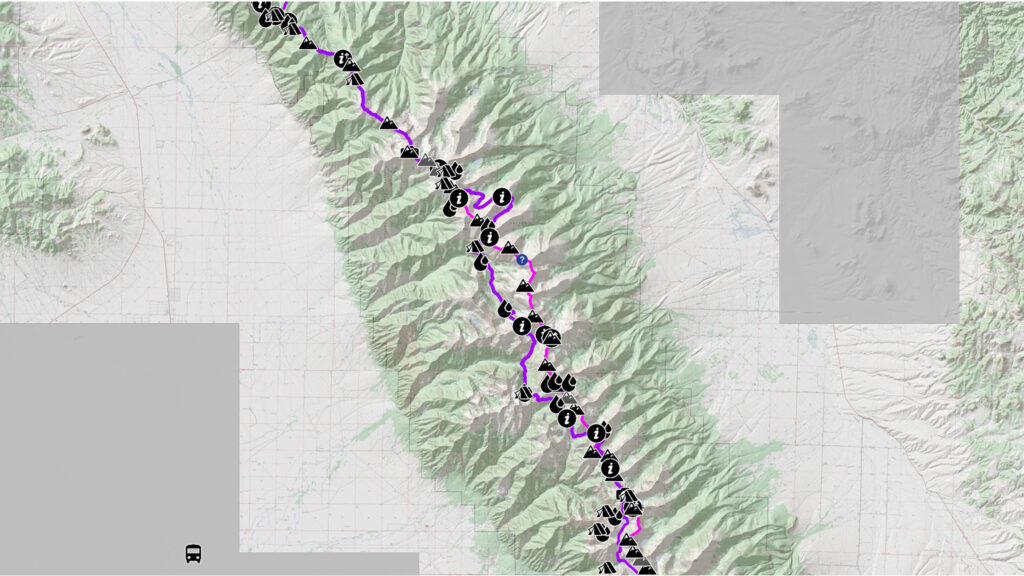

Peaks Summited
- Comanche Peak, 13,277′
- Spring Mountain, 12,228′
- Venable Peak, 13,333′ (bonus)
- Eureka Mountain, 13,505′
- “Yahoo Mountain”, 13,001′
- Hermit Peak, 13,311′
- Rito Alto Peak, 13,801′
- “Peak of the Clouds”, 13,495′
- “Silver Peak”, 13,517′
- Mount Marcy, 13,504′
- De Anza Peak, 13,391′
- Electric Peak, 13,618′
- Lakes Peak, 13,384′
- Thirsty Peak, 13,224′
- Point 13128, 13,128′
- Cottonwood Peak, 13,597′
- Peak 12655, 13,655′
- Nipple Mountain, 12,206′
- Peak 11662, 11,662′
Getting There
Crestone makes an excellent midway point of the entire ridge, where resupply of food is reasonable.
From Crestone, take the North Crestone Creek trail to North Crestone Lake. Take the start of Segment 4 of the High Route to gain the ridge just north of Fluted Peak. Alternatively, take any of the bailout routes in reverse to find yourself onto the ridge at a point of your choice.
Narrative
Continue your odyssey north over the ridgeline. The feeling of being above everything else in the World hits hard for this entire segment as the valley floor drops down on both sides. You will find solitude.
1.31 Cross the Comanche Peak Trail between Comanche Peak and Venerable Peak. Good, albeit accessible camping from the outside world along with dependable water can be found east at Comanche Lake.
Bailout to the town of Crestone: take the Comanche Trail west down to the town of Crestone, 8.7 miles.
You can also take the Comanche Trail West down approx. 4.2 miles and join the High Route where the Comanche Trail meets up with the North Fork Crestone Trail. Trails here are well-maintained, but perhaps suffer from a little too much horse traffic. It’s likely the horse outfits themselves that have helped maintain the trails. If you elect to drop down off the ridge, be aware that the views up toward the ridge from treeline will only elicit severe FOMO of a more heavenly life on the ridge.
3.46 Venable Pass
Bailout to the town of Crestone: From Venable Pass, take the Venable Trail west to the North Fork Crestone Trail. Take the North Fork Crestone Trail south until it meets up with the North Crestone Trail and Comanche Trail. Take the North Crestone Trail southwest to the town of Crestone. 8.24 miles.
6.32 Hermit Pass, accessible also by 4WD by the east and by foot to the east. A north-facing snowfield on Hermit Peak has consistently been a good source of water, despite the impermanent nature of snow. The snowfield is large enough to have running water somewhere near the bottom, flowing west. Water and camping are also easily found down the trail to the west.
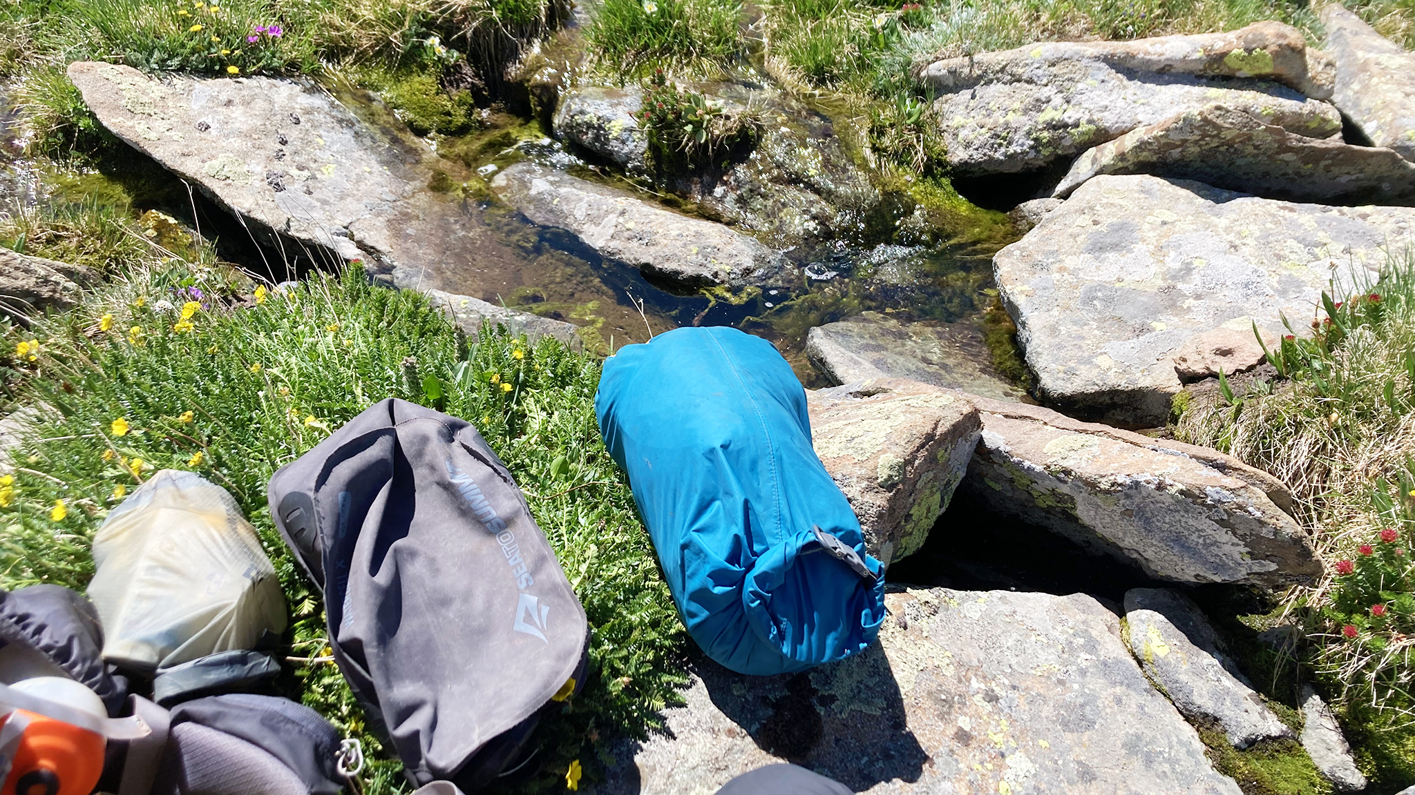
Good bivvy spots are going to be very rare until Thirsty Peak.
Bailout to the town of Crestone: from Hermit Pass, take the Rio Alto Trail down to the High Route/North Fork Crestone Trail and take it southeast until it meets up with the North Crestone Trail and Comanche Trail. Take the North Crestone Trail southwest to the town of Crestone. This route goes over two high passes, and is not an expedite back way to civilization. Approx. 12 miles, 1100′ elevation gain.
8.30 Peak of the Clouds will have a Class 3 downclimb off of its NW ridge, which may help break up the monotony of the day’s talus crushing.
13.95 South Brush Creek Trail
14.76 Electric Peak
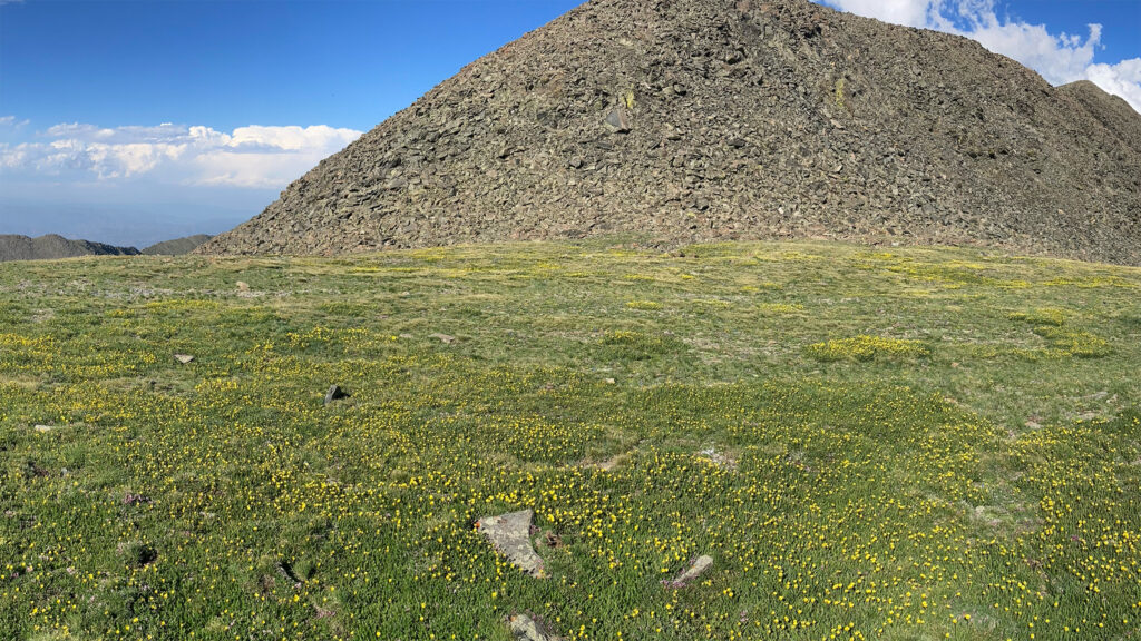
16.81 A lovely bed of tundra and small flowers between Lakes Peak and Thirsty Peak has been the sight of two of my own bivvies. The first seemed angelic, the second ending in the morning after enduring a violent wind storm that tore my shelter apart, having me clutching what was left of of my gear in the fetal position for hours.
18.83 Cottonwood Peak marks a transition point between the high peaks on the southerly side of the route with much lower peaks to the north. It’s still many miles until treeline and miles still until free, running water. Turn around south for perhaps the second most impressive view of the Sangres, where an ocean of peaks – the majority of which you’ve summited – can be seen all together in one view. On a clear day, even the Southwest ridge of Little Bear should also still be viewable in the far distance.
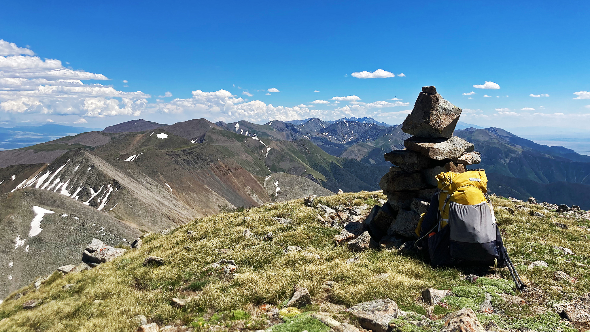
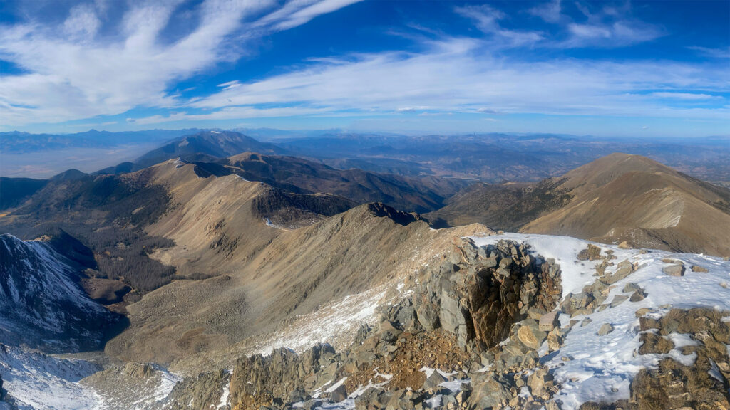
You’ll encounter some loose rock descending Cottonwood Peak, so keep your wits about you.
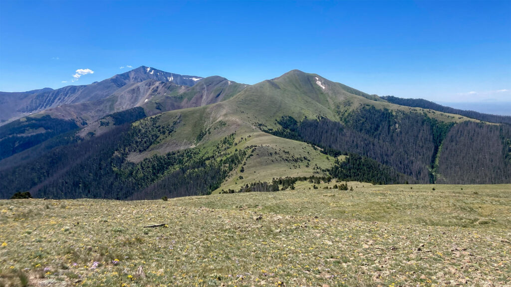
22.86 Near treeline at a low point before Nipple Mountain, the Black Canyon/Mountain Trail will appear to avoid the peak. Do not take the trail if you would like to summit this peak (very much suggested).
23.9 Below Nipple Mountain, you’ll finally reach treeline. The forest is heavily burnt on the steep east side. The Black Canyon/Mountain Trail will appear to help you through the underbrush, but it is in bad condition, and will wink in and out of existence, while leading you right into blowdown.
25.31 North of Point 11662, our route will favor the west/left side of the ridge in an attempt to follow the Black Mountain Trail, down towards Hayden Pass. Downed trees are everywhere, so do your best.
26.69 A dependable spring can be found near the trail. This is the best and last running water before the finish of the entire route. Stock up, if you don’t plan to hunt for the spring below Hayden Pass.
Do your best taking the trail down to Hayden Pass. Many social trail segments have been tracked out to get over the downed trees that have not been removed by the Forest Service or volunteers.
Hayden Pass is a 4WD accessible pass from both directions, so the chances of seeing a living person here are high. Camping is plentiful on the north side of the pass, although it will most likely be a dry pass. If the day is getting long, it’s highly suggested to camp here, as sleep quality will be infinitesimally better down in the trees than high on the ridge.
Bailout: hike or hitch to the east side of Hayden Pass. It’s 5 miles to the base of the pass, the Hayden Pass Campsite and access to Hayden Creek. You can also pick up the Rainbow Trail hear heading Northwest, which will take you to the road to Methodist Mountain, close to Salida.
A spring is located to the west of the pass at/near Hayden Pass Creek. Do not count on any running water on the rest of the route, and do not underestimate the rest of the route. If water can not be found at this spring, do not attempt the rest of the route without a plan to drop far down into the lake basins off route, or backtrack to the previous spring up the Black Mountain trail.